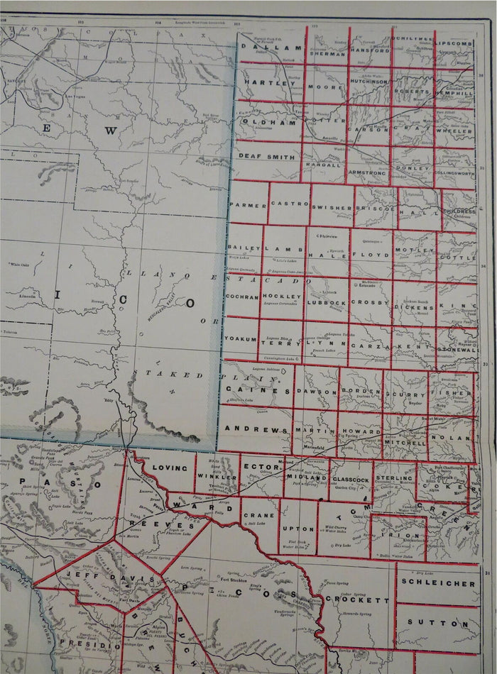
Texas State 1886-92 People's two sheet large scarce detailed map
Texas State 1886-92 People's two sheet large scarce detailed map
✅ Made In USA
✅ Quick Delivery
✅ Cruelty Free
Couldn't load pickup availability
-
Ordered
- - -
Order Ready
- - -
Delivered

Texas State 1886-92 People's two sheet large scarce detailed map
Western Half of Texas - Eastern Half of Texas.
(Old Maps, 19th Century Maps, North America, United States, Texas, Austin, Dallas, Houston, El Paso, Galveston, Corpus Christi).
Issued 1886-92, Chicago by People's Publishing Company
Late 19th century color lithographed map. Map consists of two sheets (please see photos).
An uncommon/ scarce 19th century two sheet map of the state for which there likely exist variants.
Well preserved, nice looking example with pleasing age patina.
Original center folds as issued.
Sheets Measure c. 14 1/2" x 22".
Printed Areas Measure c. 12 1/4" x 20".
Cartographic Reference(s):
Tooley's Dictionary of Mapmakers, vol. 3.
[R29024].
Collapsible row
Collapsible row